


Personalised Old OS Map Print Float Mounted Frame
Personalised Old OS Map Print Float Mounted Frame
- ✓ Fast Shipping
- ✓ Eco-friendly materials
- ✓ Licenced OS Partner

Arrives framed and ready to hang
Couldn't load pickup availability
Delivery & international info
Remote areas may take longer or incur a higher rate.




Follow us @blimandblum *
The story
About this print
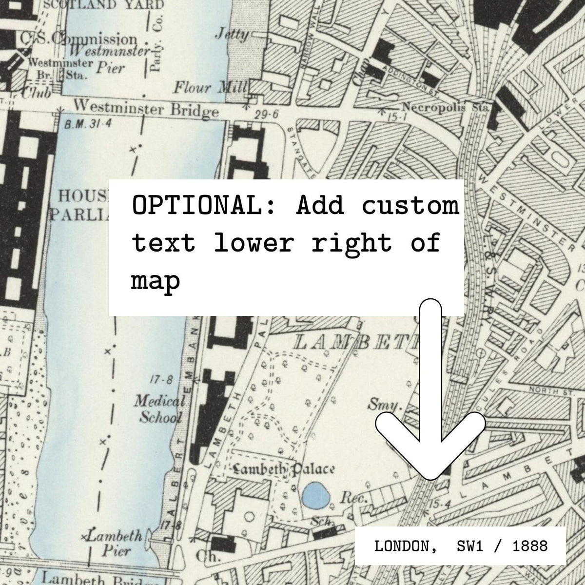
A personalised historic Ordnance Survey map print centred on any location in Great Britain or Ireland. We use the OS County Series (1888-1913) as standard in Great Britain and the OS Six-Inch 2nd Edition (1888-1915) in Ireland, so you get the streets, field boundaries and place names as they were over a century ago. Add optional custom text in the lower right: a place name, names, or a date.
Our bespoke float mounted frame is designed specifically to show off the handmade deckled edges of the print. The artwork is float mounted onto the backing board and set inside a solid FSC wood gallery frame, so the torn edges and the depth of the cotton paper stay visible.
Coverage: England, Scotland, Wales and their associated islands, plus the whole of Ireland, north and south, from Belfast to Dublin, Cork and Galway. Irish locations use the original Ordnance Survey six-inch survey of Ireland.
Printed in-house in the UK on 100% sustainable cotton rag paper with a genuine deckled edge. Made to order, carefully packed and dispatched with tracked delivery.

FAQs
01. Which areas can the OS map show?
02. How old is the map?
03. Can I choose a different historic edition?
04. What if my house didn't exist back then?
05. How much area will my print cover?
06. Can I add my own text?
07. What is a float mounted frame?
08. Can I see the design before it is printed?
09. How long does delivery take?

What makes it special
